After some places picking up over a inch yesterday in precipitation, mostly in interior NJ, it looks as if we will quiet out fro the week ahead. Lets take a quick look at the tropics....
Invest 91-L is spinning north of Puerto Rico at this time. Lots of people are calling for the regeneration of this system. I am not seeing it. Since its dissipation from a closed off Tropical Storm, the Low Level vort associated with ex-Dorian and the Mid-level vort are disjointed. The LLV is displaced well west of the MLC rotation. The convection flare ups associated with the wave, are seen over the MLC, not the LLV which would be needed in order for the convection to wrap around and close off the system. Taking that into consideration, when Invest 91-L moves more WNW to W, it will move into area with total shear velocity of over 30+ Knots. With out a some what closed LLC stacked upon the MLC, this tropical wave has no chance to regenerate. More information from the ASCAT as the day went on confirming that the mid level trough has become less organize and the satellite cant find a single east wind on the South side of the system. AS the wind shear eats at the Mid level center, the convection will fade and blow away. The remaining convection will be weak so it wont be under the influence of the trough located on the east coast and will drift ever so slowly west toward Cuba, and Florida bringing some rainfall to those areas. Some models eventually have the reaming convection re curve into the Southern US Gulf Coast. But what happens their remains to be seen. Models did a god awful job forecasting this one. But it was another early season Cape-Verde system, which are the most difficult to forecast in terms of intensity.

As you can see from the Water Vapor loop the dry air and shear has ripped 91-L of is highest convection tops and has no high cloud tops near the MLC.
Looking closer to home, the model consensus keeps the area dry for the most part with the exclusion of some high clouds till Thursday. Expect highs in the low to mid 80s with low humidity and normal dew points.
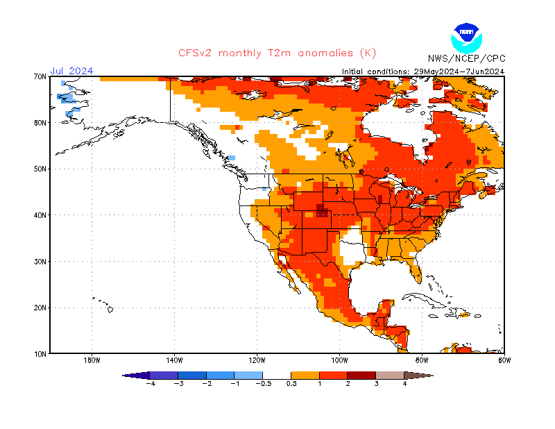
Then on Thursday the Giant Vort Maximum over the Great lakes moves ENE bringing a line of forcing into the area by Friday. This forcing will supply enough upper level divergence to develop convection ahead of this front. Models have yet to come to a consensus on the strength of the Low Level Jet, Shear, and composite indices ahead of the front. With great divergence on these indices the QPF output forecasts differ greatly between models. Id say wait till Wednesday for a consensus with the Hi-Res Models to pin down the heaviest QPF axis and timing with this. But one thing is for sure, after the front moves through a deeper trough will develop into the eastern US, and once again, temperatures will be cool. With the telleconnections agreeing on a cooler pattern (neutral AO, Neutral NAO, very positive PNA, with Negative EPO) with the MJO composite forecast, and the EURO weeklies, The August CFS V2 agrees with my thoughts on a cooler august than average. The CFS has done a fantastic Job this summer, and is well supported by telleconnections and the MJO composite forecasts I mentioned before.
Hope everyone has a great week!
Ryan Remondelli
No comments:
Post a Comment